

For additional information about the MTPO, you can
contact Carlton Scroggins by email, or call the Topeka Planning & Development Department at 785-368-3728.
Topeka Pedestrian Master Plan

Walking is already estimated to be significant to the city, with approximately 1,300 Topeka residents reporting to the U.S. Census Bureau that they walk on a regular basis. An estimated 1,650 K-8 children walk to Topeka schools.
The Topeka Pedestrian Master Plan is one piece of a larger effort to improve quality of life through the development of vibrant neighborhoods and greater transportation choices serving pedestrians, bicyclists, transit users, and motorists.
Read more.
Southeast Topeka KTA Interchange
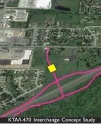
The City of Topeka has been working with the Kansas Turnpike Authority (KTA) to construct an additional interchange on the southeast side of the city that would provide access to the I-470 Turnpike. KTA partnered with the City on a preliminary engineering Interchange Concept Study. In addition, an economic and fiscal impact report was prepared in consultation with GO Topeka. The project is estimated to cost $16 – $23 million. The City of Topeka has currently set aside $500,000 in their CIP to perform preliminary engineering work that will help get the project closer to “shovel ready” as economic development and/or transportation grants become available.
Long Range Transportation Plan – 2040

The Long Range Transportation Plan (LRTP) is a guide for transportation decisions made for Topeka and a surrounding portion of Shawnee County. Updated every five years, the plan identifies current and future year transportation recommendations for roadways, public transportation, non-motorized travel, aviation, and rail through the year 2040.
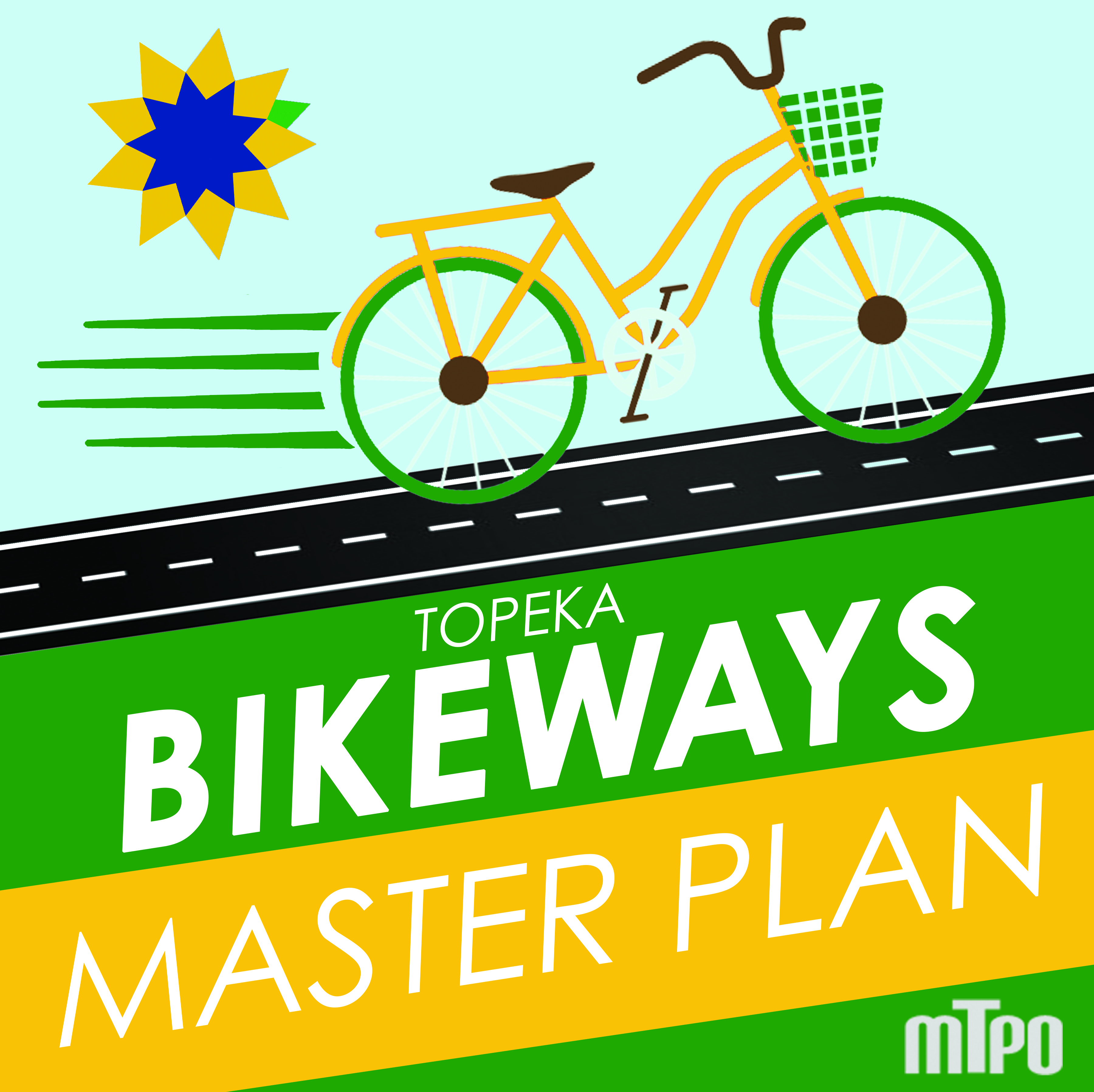
Topeka Fast-Track – an update to the Topeka Bikeways Master Plan
Bicycles and Topeka are made for each other, and while bicycling does not work for every Topekan or every trip, it can play a significant role in the city’s transportation system.
The 2012 Topeka Bikeways Master Plan is dedicated to making Topeka a place that encourages its citizens to use this healthy, low impact, and intrinsically fun form of transportation as a great part of their routine lives. In 2020 the MTPO updated the plan.
In 2014 Shawnee County residents voted to implement as part of the Countywide ½ cent sales tax. Up to $3.5 million of sales tax will be allocated through 2031 to build-out the bikeways network as envisioned by the Plan. By the end of 2019, the network hoped to have almost 64 miles of on-street bike facilities including bike lanes (6%), multiuse side-paths (24%), and road signage/sharrows (70%). The network also includes 31 miles of off-street concrete trails (e.g., Shunga Trail). The City of Topeka primarily implements on-street biking facilities within the city, while Shawnee County and townships manage off-street recreational trails and on-street bicycling facilities beyond the city limits. [learn more about the plan update]
The purpose of the Bikeways Master Plan Update is to 1) ensure Topeka continues to be a bike-friendly community, and 2) help guide future funding that achieves a low-stress/high use bikeways network for people of all ages and abilities. Help us better understand how well the current Bikeways Master Plan is serving the community and what changes or priorities should be emphasized going forward.
Topeka/Shawnee County Regional ITS Architecture Strategic Deployment Plan

The goal of the architecture update project is to develop a framework for the planning and development of Intelligent Transportation Systems that improve the safety and efficiency of travel in the region.